

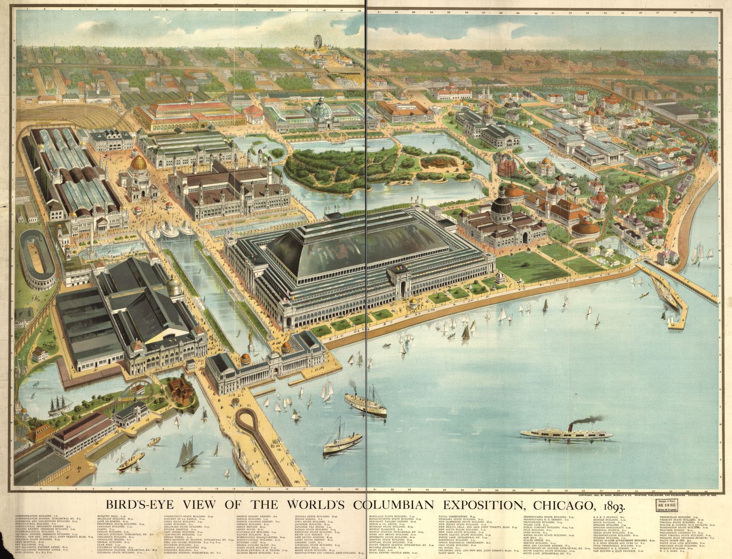
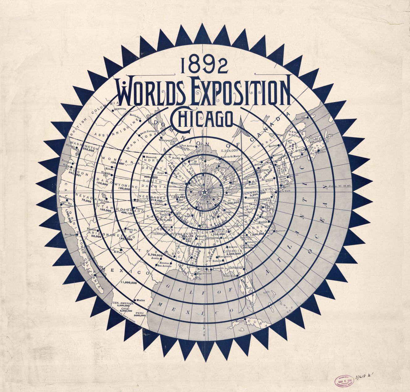
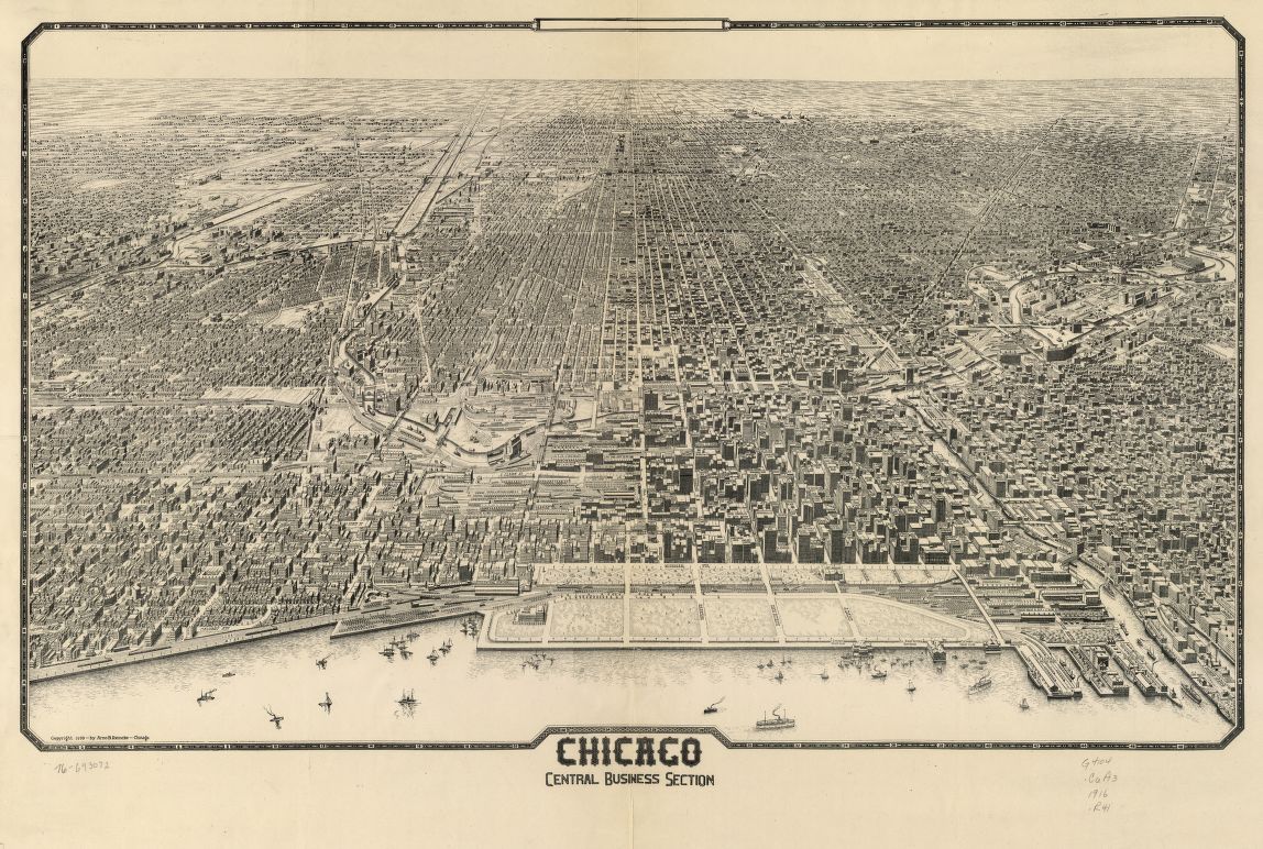
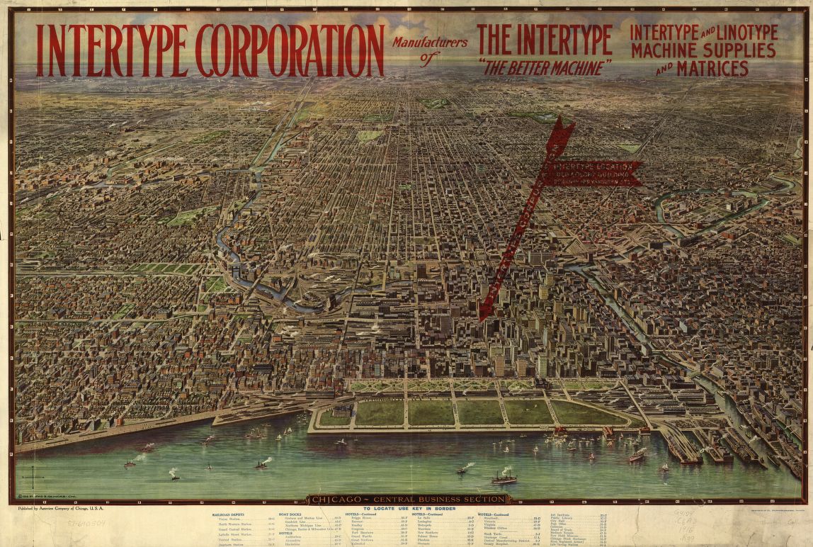
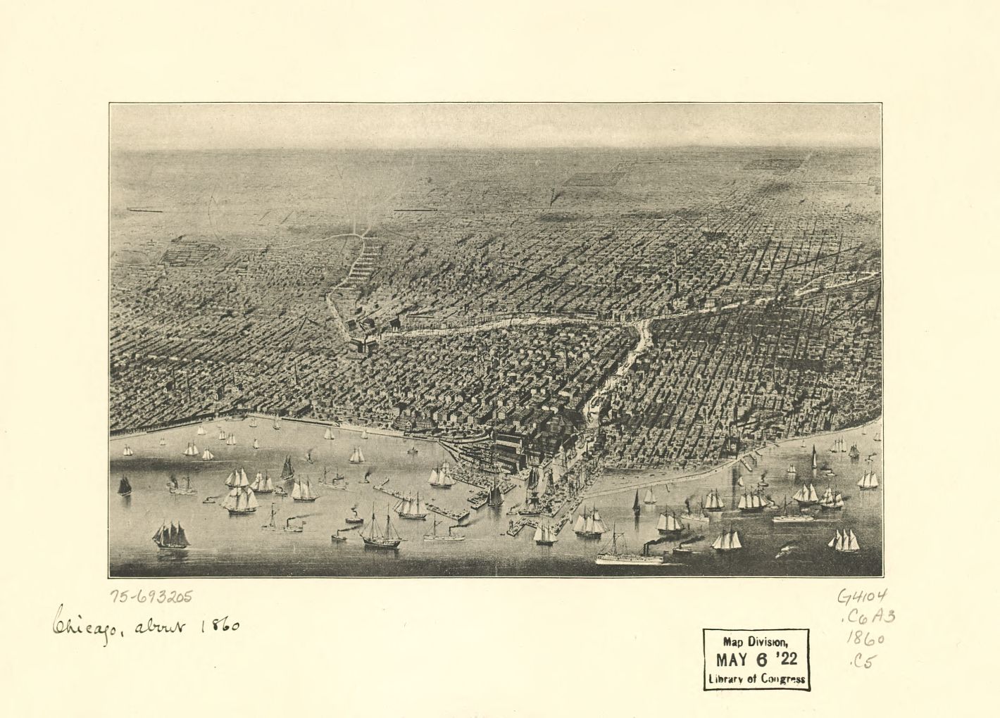
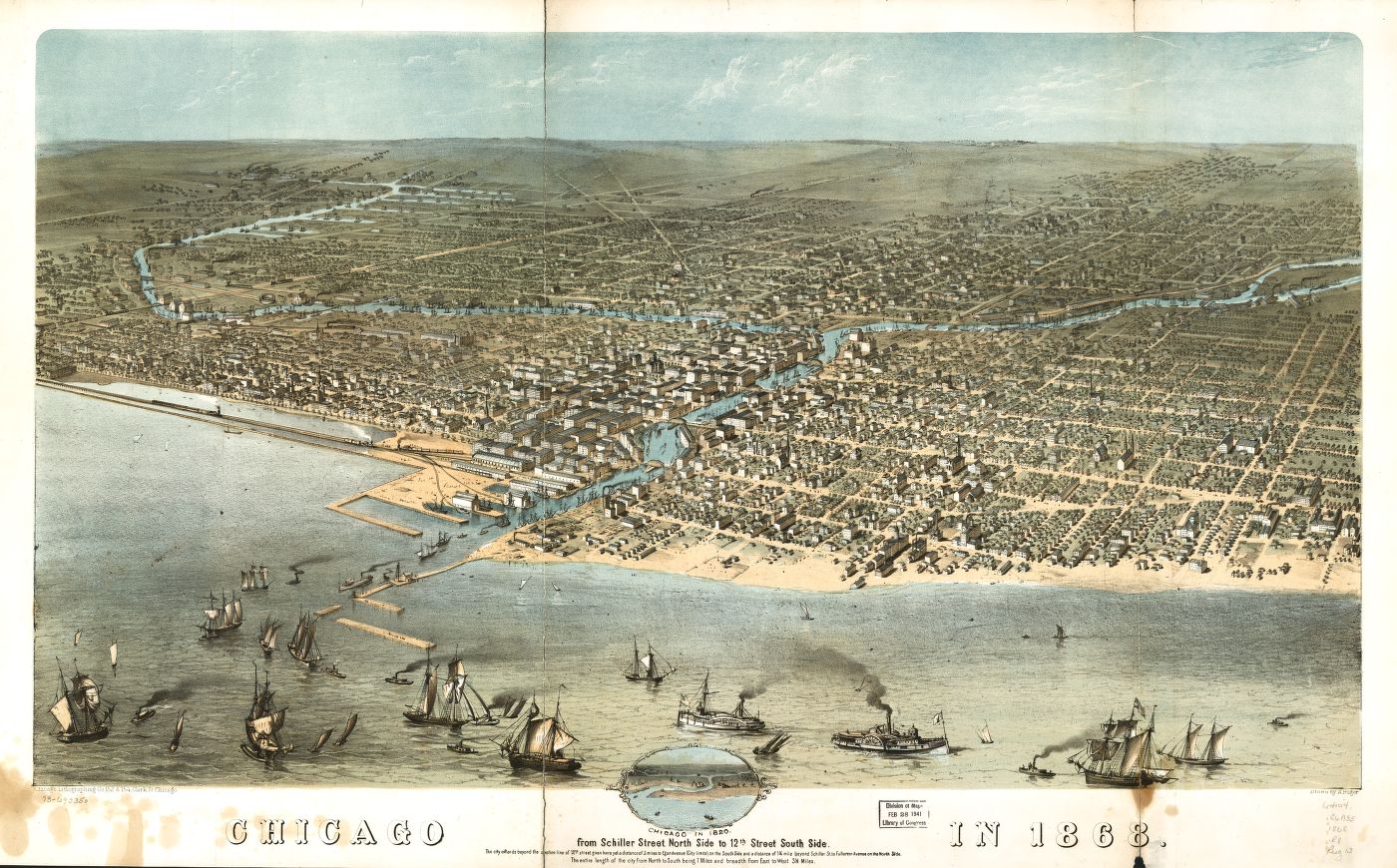
The Library of Congress: Everyday a new discovery and a new treasure. It’s not exactly easy to navigate, but it is amazing what shows up doing random keyword searches in the LOC archive. The “Bird’s Eye View” maps have long been a favorite, but a deeper dive into the maps pages with a Chicago search turned up all of these beautiful old maps.
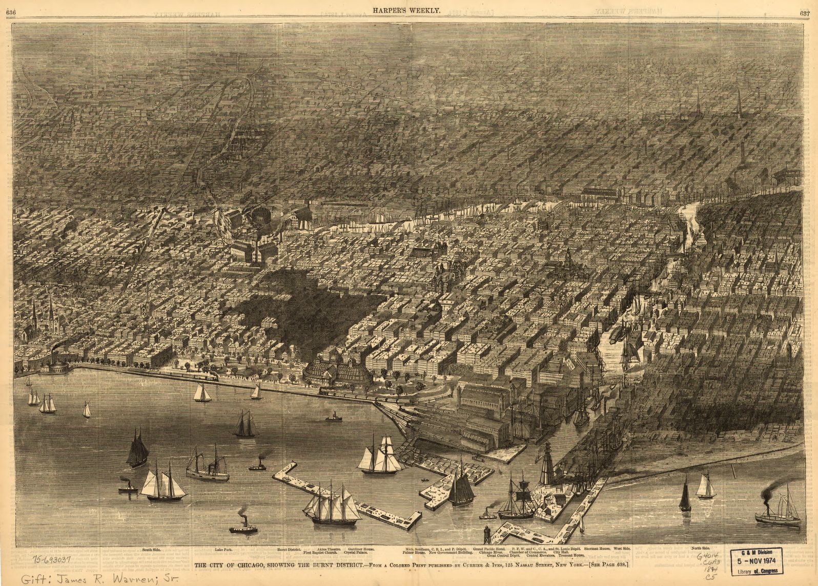
The most intriguing of which is directly below, showing the sections of the city that fire destroyed because Catherine O’Leary left a lit lantern within leg-shot of her cow in 1871. The conflagration wasn’t actually her fault, but it did start in her barn. At any rate, the map shows the huge swath of the city that burnt in the blaze. The perspectives and design of this old ephemera, along with the LOC as a whole, continues to inspire.


Chicago Related: Books: After Visiting Friends | Shops: Independence
I’m engrossed in The Devil in the White City at the moment and it’s fascinating to see an aerial view of the site. Nice find.
why is the color of water in almost all old maps so beautiful? the ink?
This is so awesome
So great! I’m working on mapping the city myself, via people’s dreams: http://artistsonthelam.blogspot.com/p/dreams-of-city.html